Altitude Notes: Entry Two
Crestone Peak 14,1294 Feet
21-23 August 2021
The Approach
The most common route into the area is by way of the South Colony Lakes trailhead to the northeast. If you are up for taking the road less traveled and are up for a challenge, then the Cottonwood Creek route is one to investigate.
It begins just south of the town of Crestone, within a Buddhist retreat, at a small trailhead that is hidden in the back forty, so plug it into your choice GPS provider to make life easy.
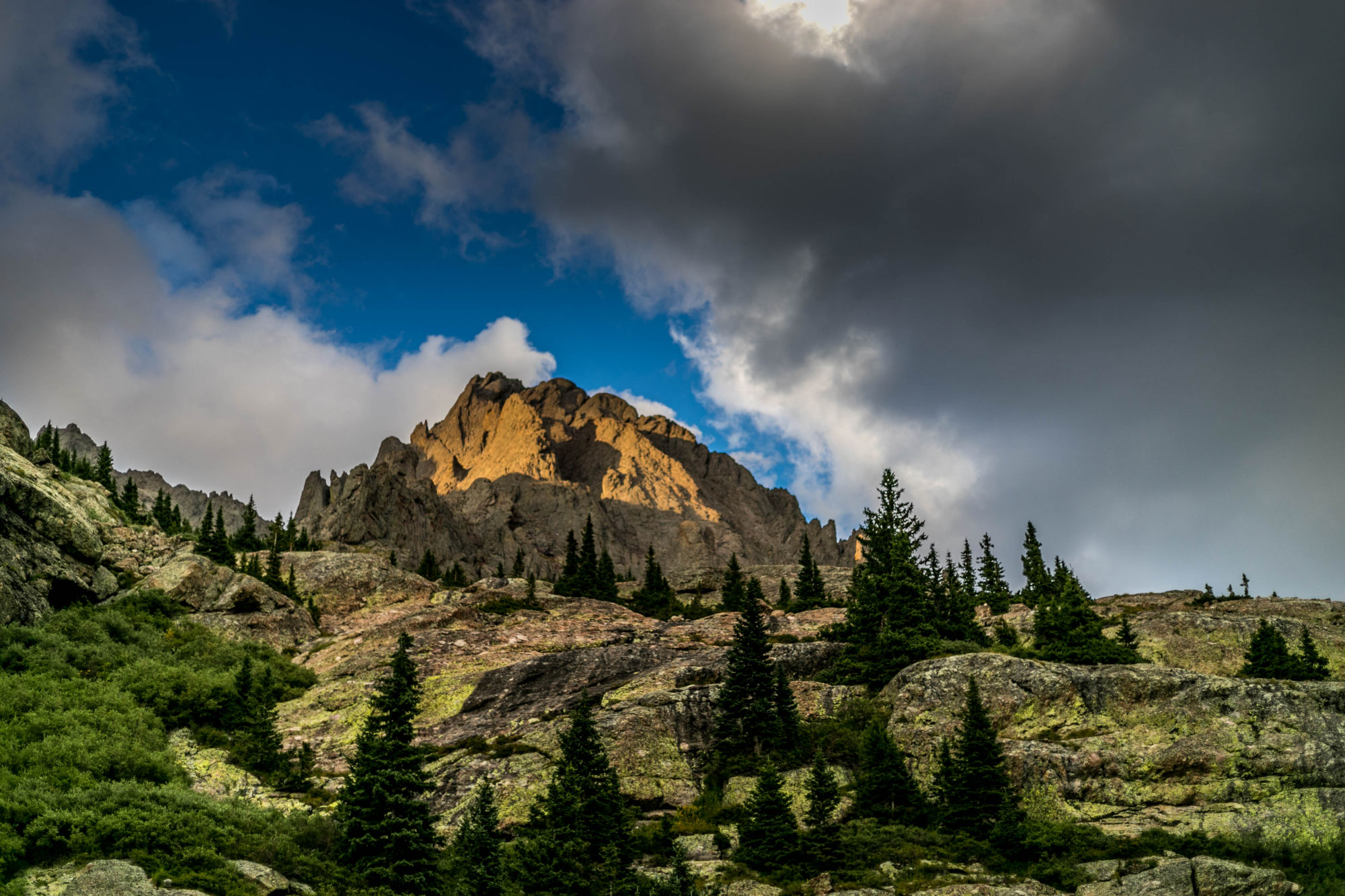
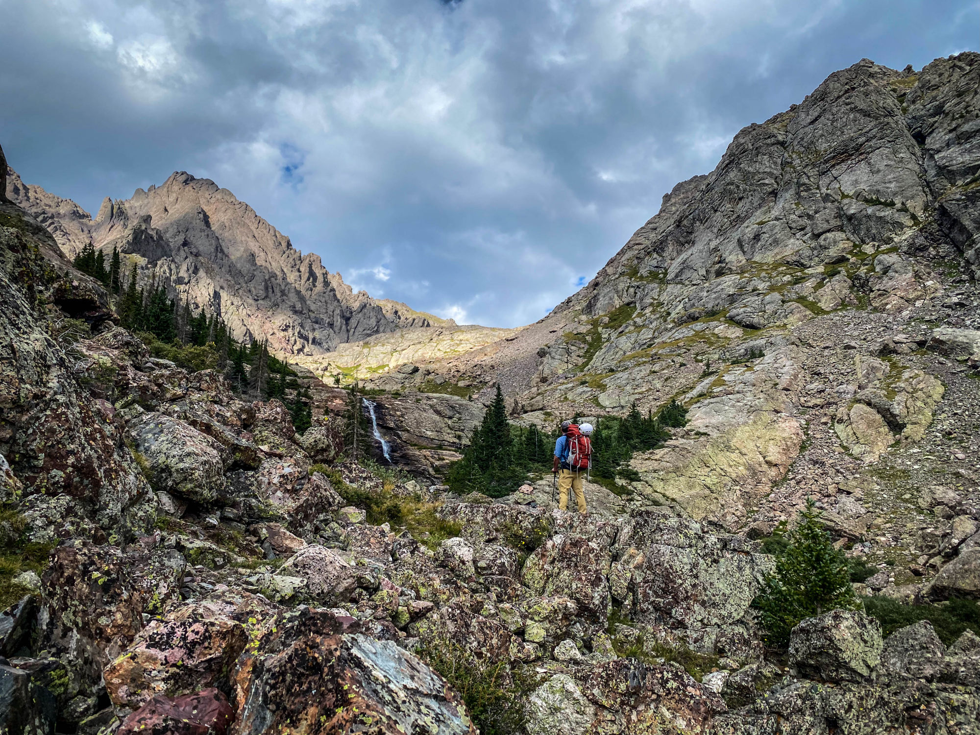
The trail follows Cottonwood Creek for around 5 miles up to an alpine meadow, with roughly 5,000 feet of elevation gain from where your boots first hit the ground. Along the way there is bushwhacking and a section of class 3 hiking that requires a 30-foot scramble.
Tip, bring a section of rope to haul bags up. There are some spectacular sights along the way, including a water fall or two.
The stream is a reliable source of water, but it is a good idea to filter what you drink to avoid the beaver fever, aka giardia.
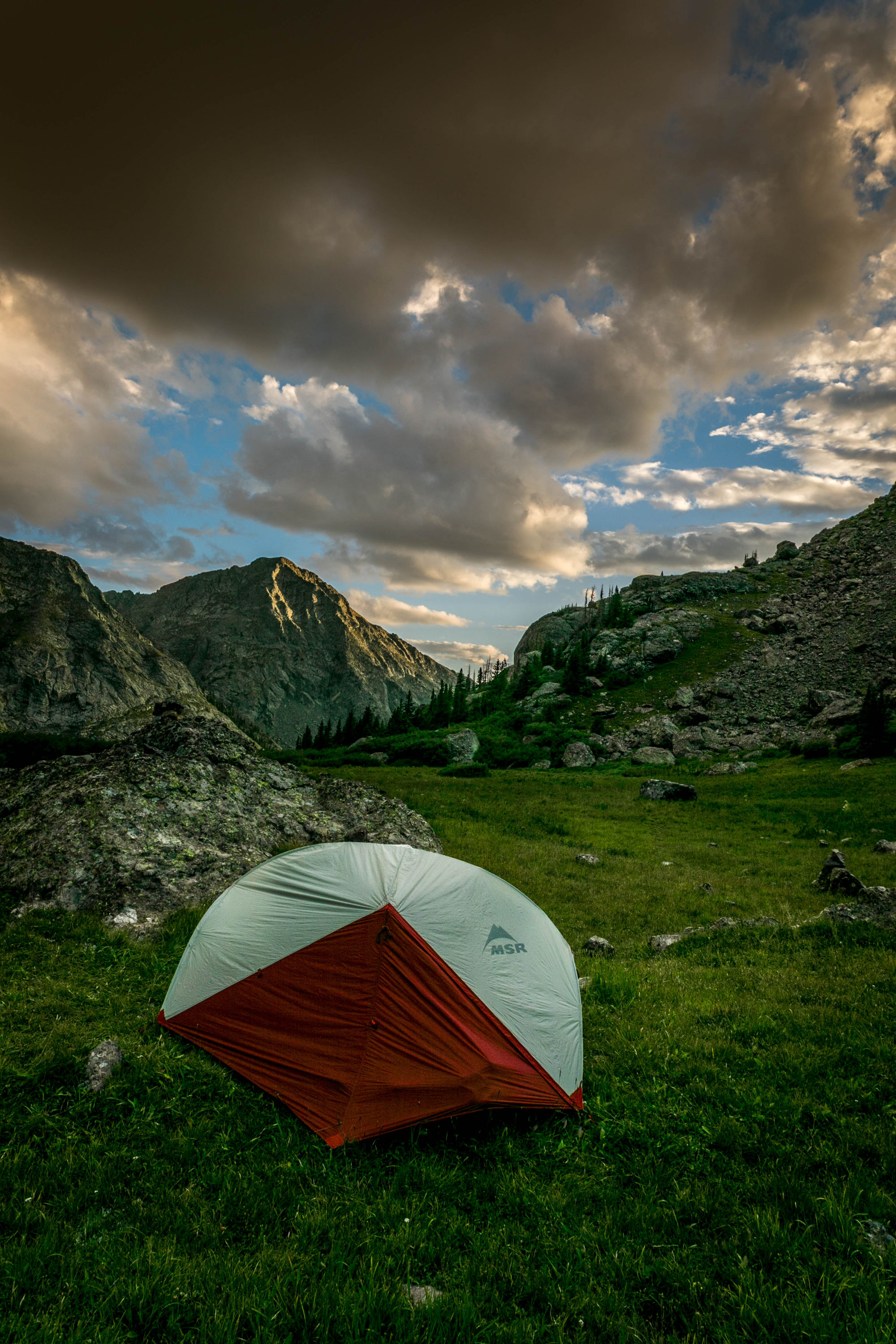
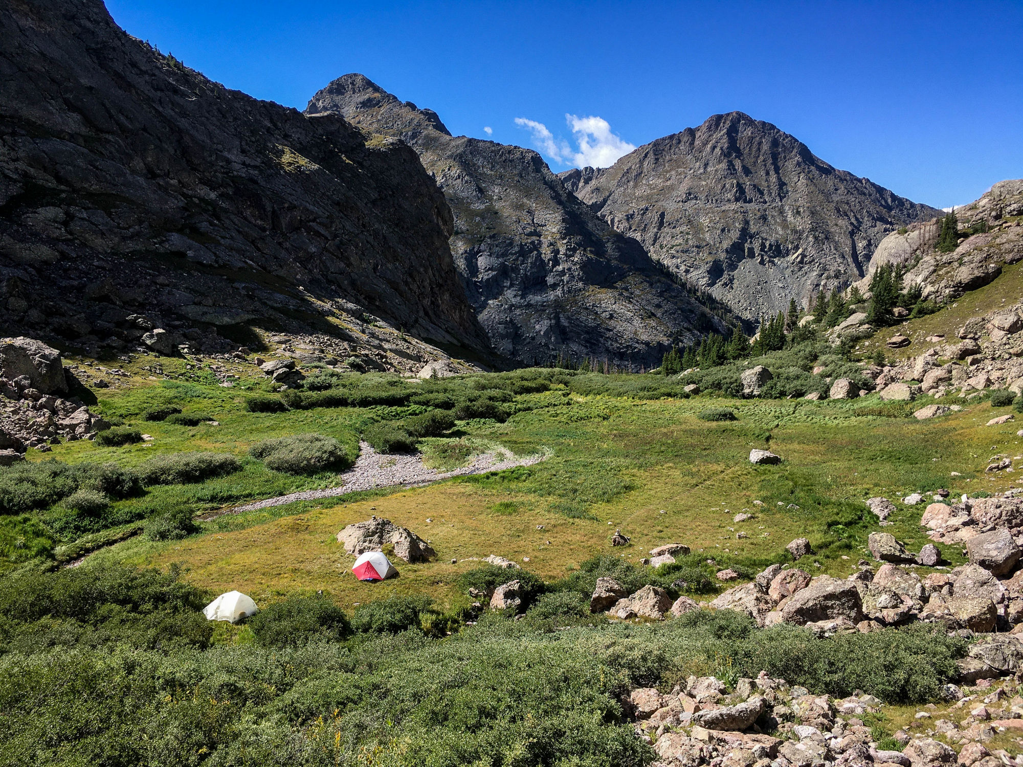
We set up camp in the meadow bellow Cottonwood Lake.
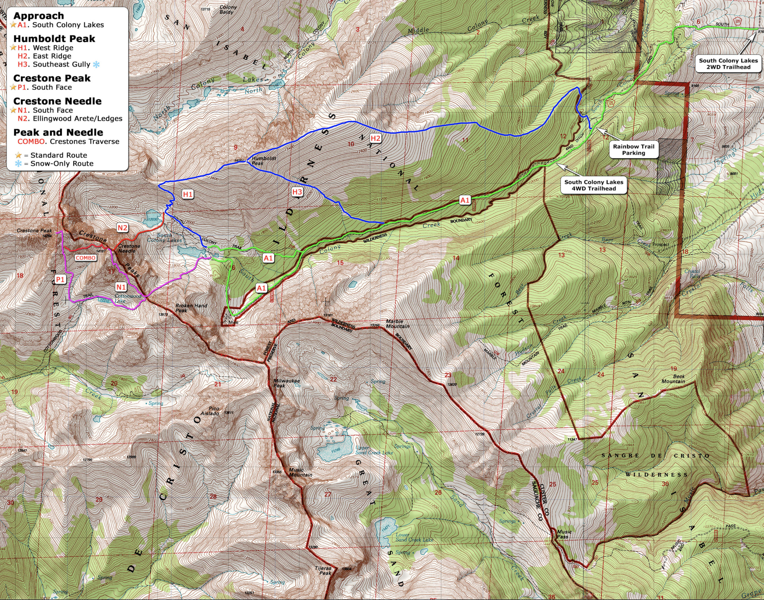 The Route
Distance: 3.06 miles round trip from basecamp
Elevation Gain: 2,426 feet from basecamp
The Climb
We were up and moving before the sun was on the horizon the next morning. The only light to be had was that of our headlamps, which lit the way ahead. After leaving a short section of switchbacks we were facing the Red Gully, the main route to the summit.
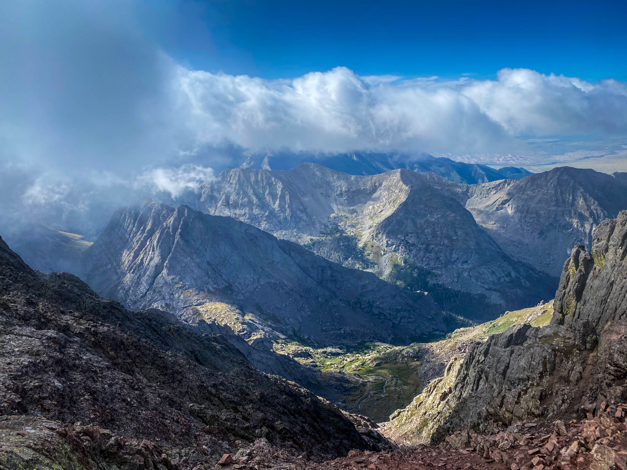
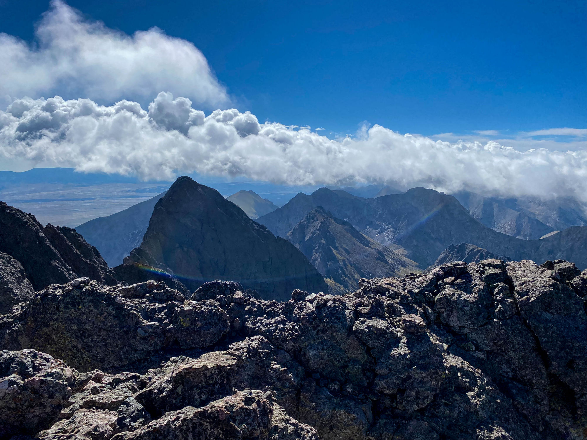
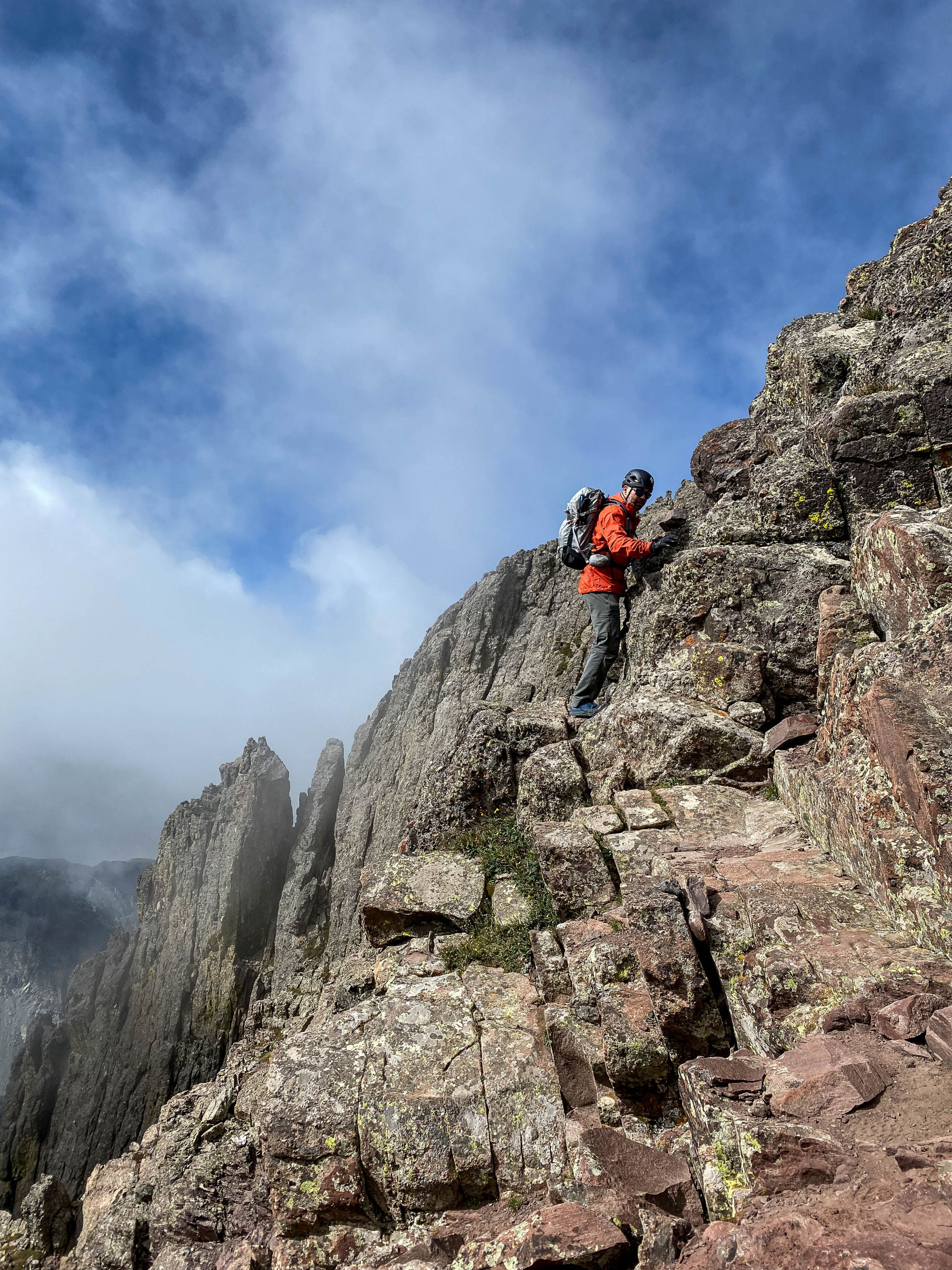
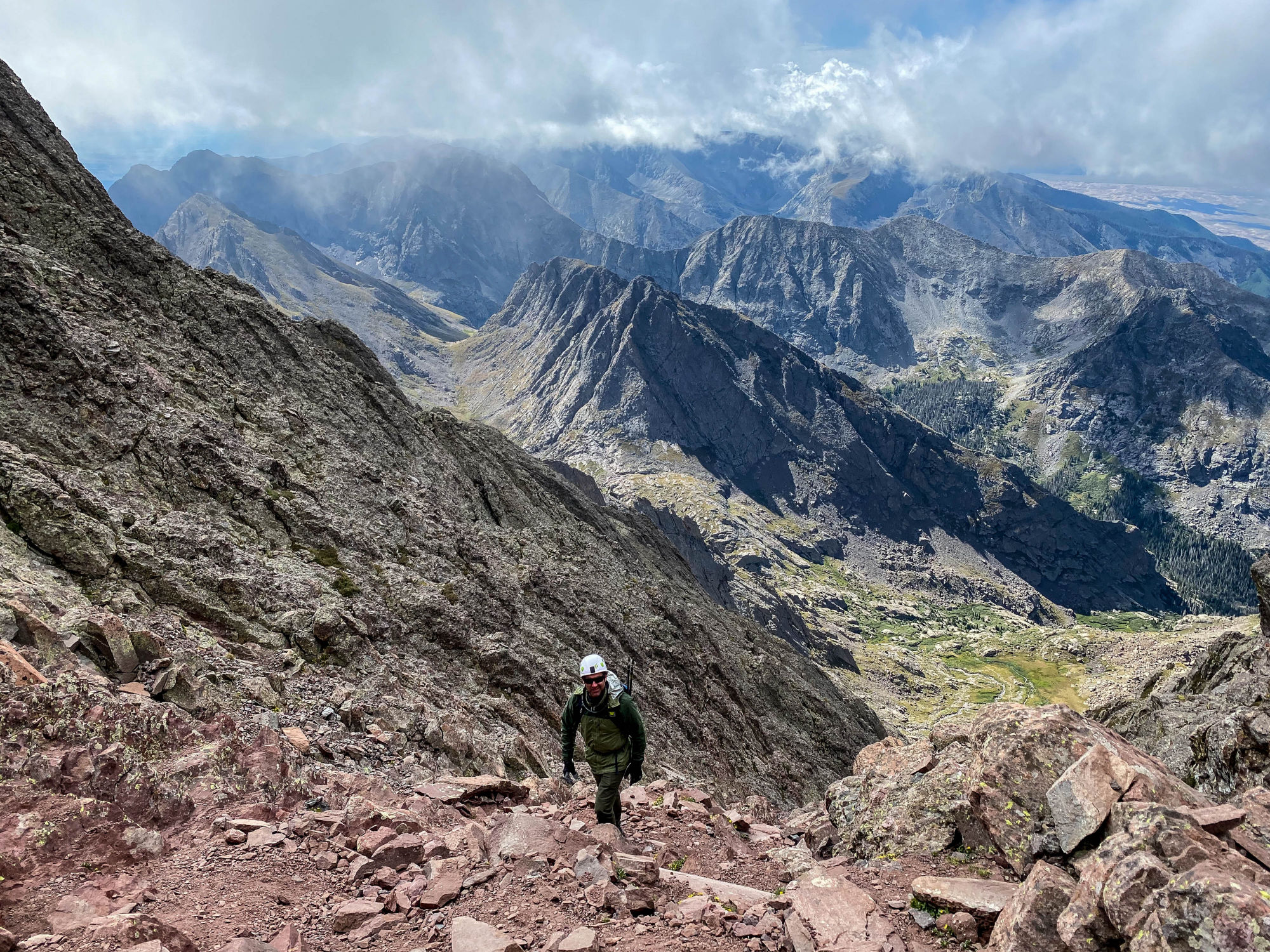
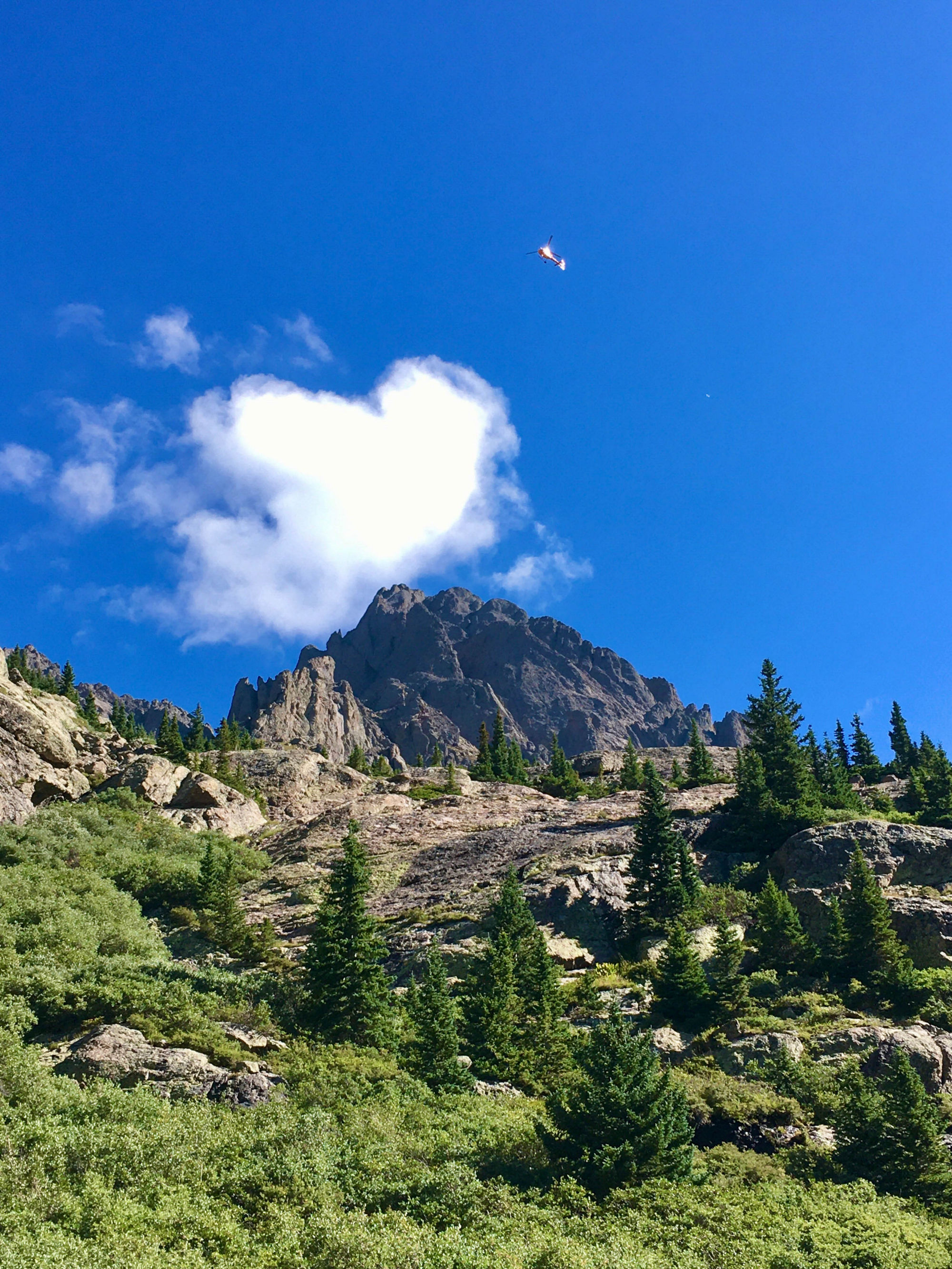
Crestone Peak waited somewhere above, shrouded in clouds that seemed to move by at breakneck speed. The Red Gully is solid conglomerate rock interspersed with some loose talus sections to make things a bit sketchy at times. The route is well demarcated by cairns, making route finding a non-issue.
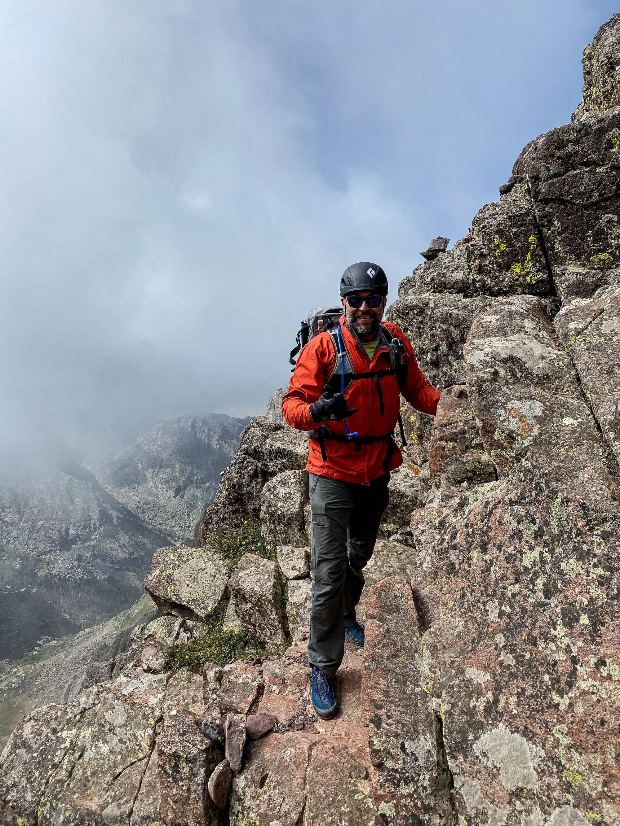
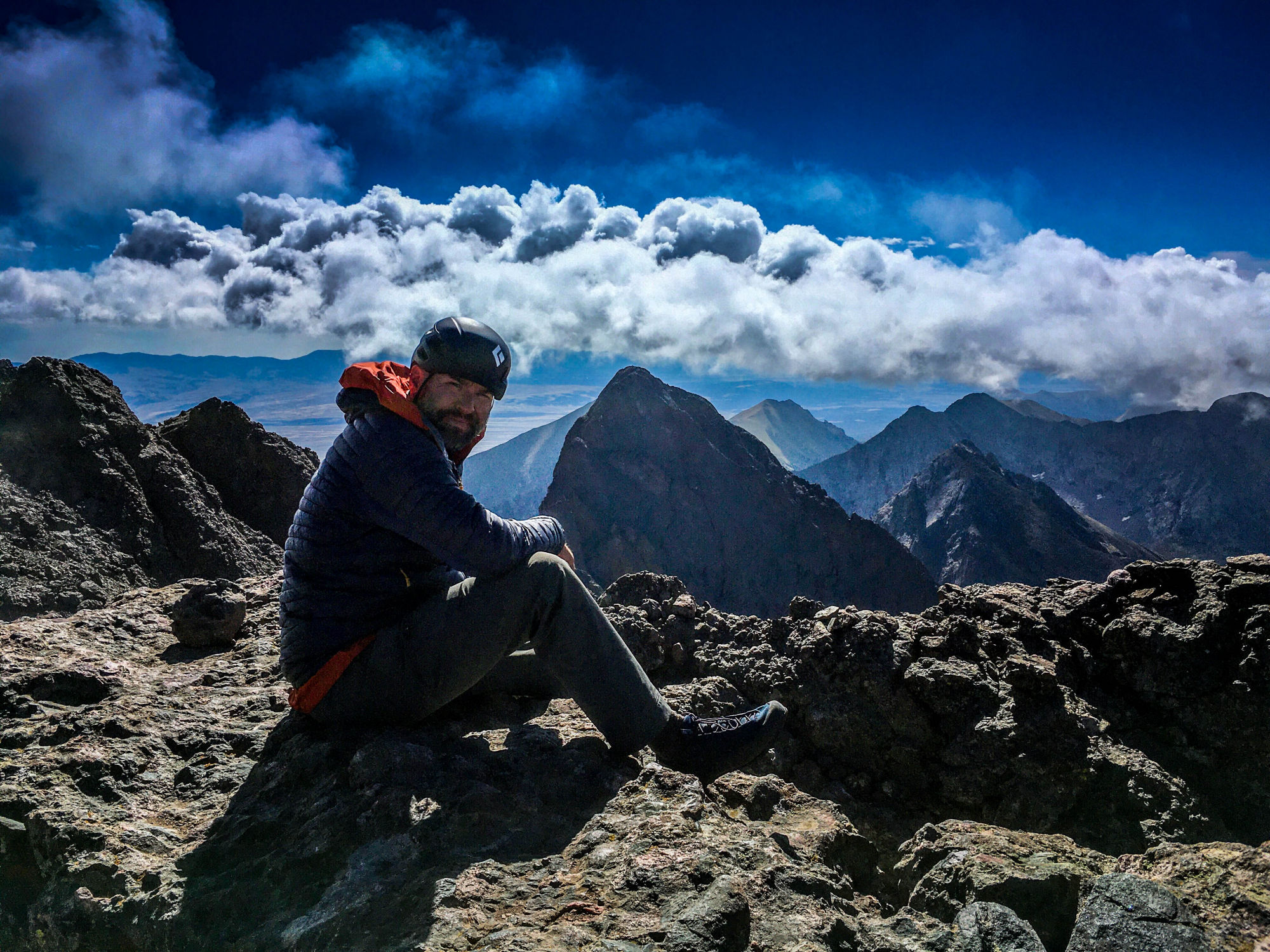
After gaining the ridge beneath the summit we found ourselves within the heavy cloud cover, obscuring views of the surrounding mountains. We pushed through the clouds and the peak was now within reach and only a short scramble stood between us and our objective. There were several cairns that we followed, and were thankful for, as the drop-off would be unforgiving.
As we traversed and climbed that final section the cloud cover below was finally starting to clear, and the windward aspect was nothing but blue skies. The stunning scenery that surrounded us was beyond belief. And an amazing backdrop for the days agenda, to memorialize a fallen Ranger named SSG Anthony Davis and Delta Force operator MSG George Fernandez, both killed in action.
The down climb was manageable, but care was definitely needed at the steeper sections with the loose talus under foot. Once back at our camp we broke down our tents and packed our bags for the hike back down. We capped off the day in the town of Salida for pizza and beer to mark the end of an excellent adventure.
References:
https://www.14ers.com/route.php?route=cpea2
http://climb.mountains.com/Book_Land_files/14ers.shtml#Fourteeners_3rd_Edition
3rd Edition of Colorado’s Fourteeners – From Hikes to Climbs