Altitude Notes: Entry Three
Grays Peak 14.270 Feet Above Sea Level
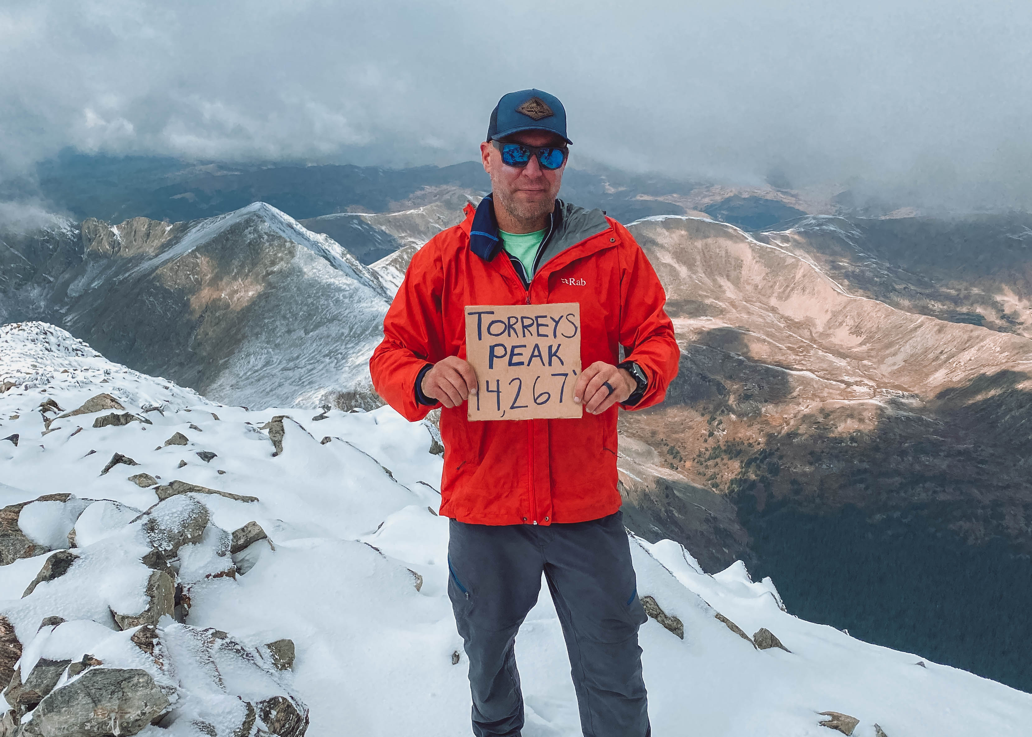
Torreys Peak 14,267 Feet Above Sea Level
01-02 October 2021
The Approach
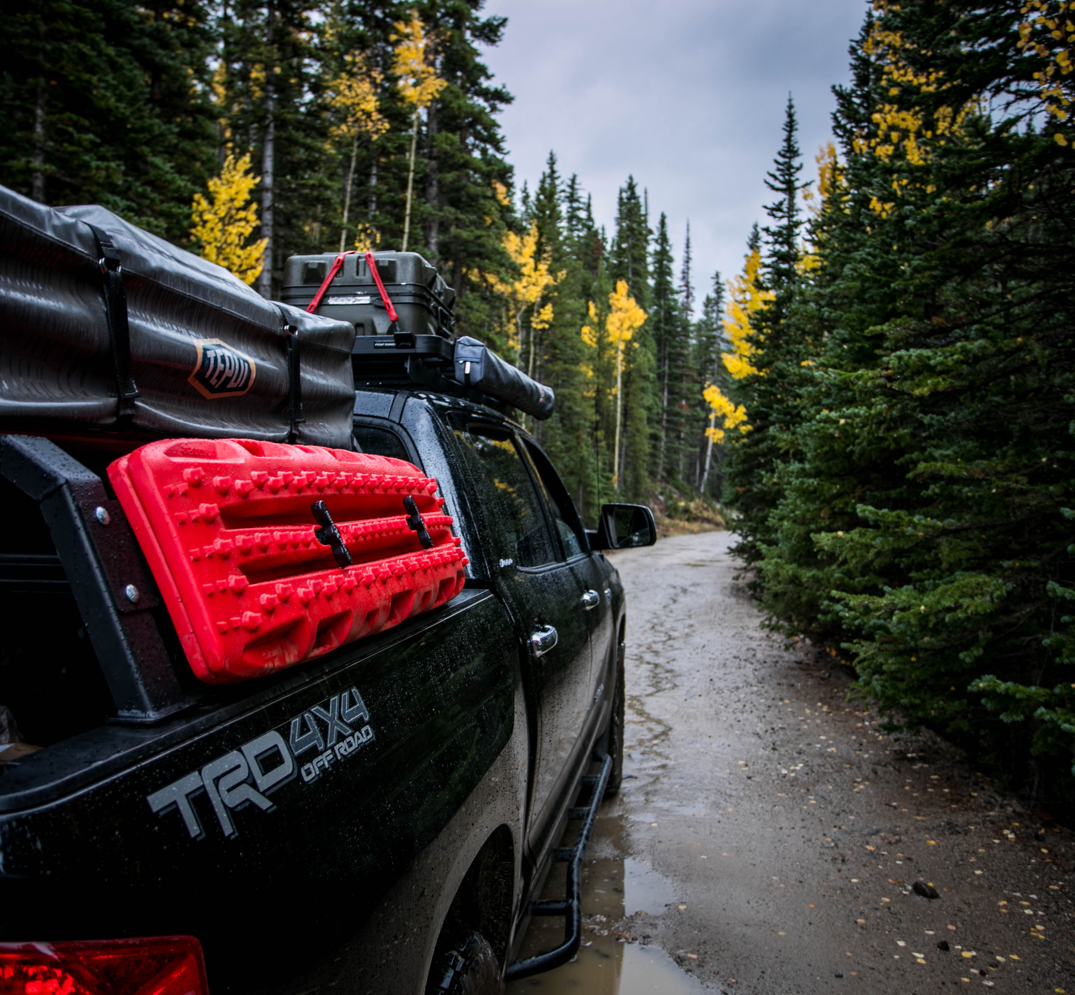
Right off Interstate 70, the Grays peak trailhead couldn’t be a more convenient. With convenience comes crowds though, so in hoping to avoid them I took this objective on in early October. Another factor that went into this was planning the hike to coincide with the 28th anniversary of the Battle of Mogadishu, aka Black Hawk Down, that took place on 03 October 1993.
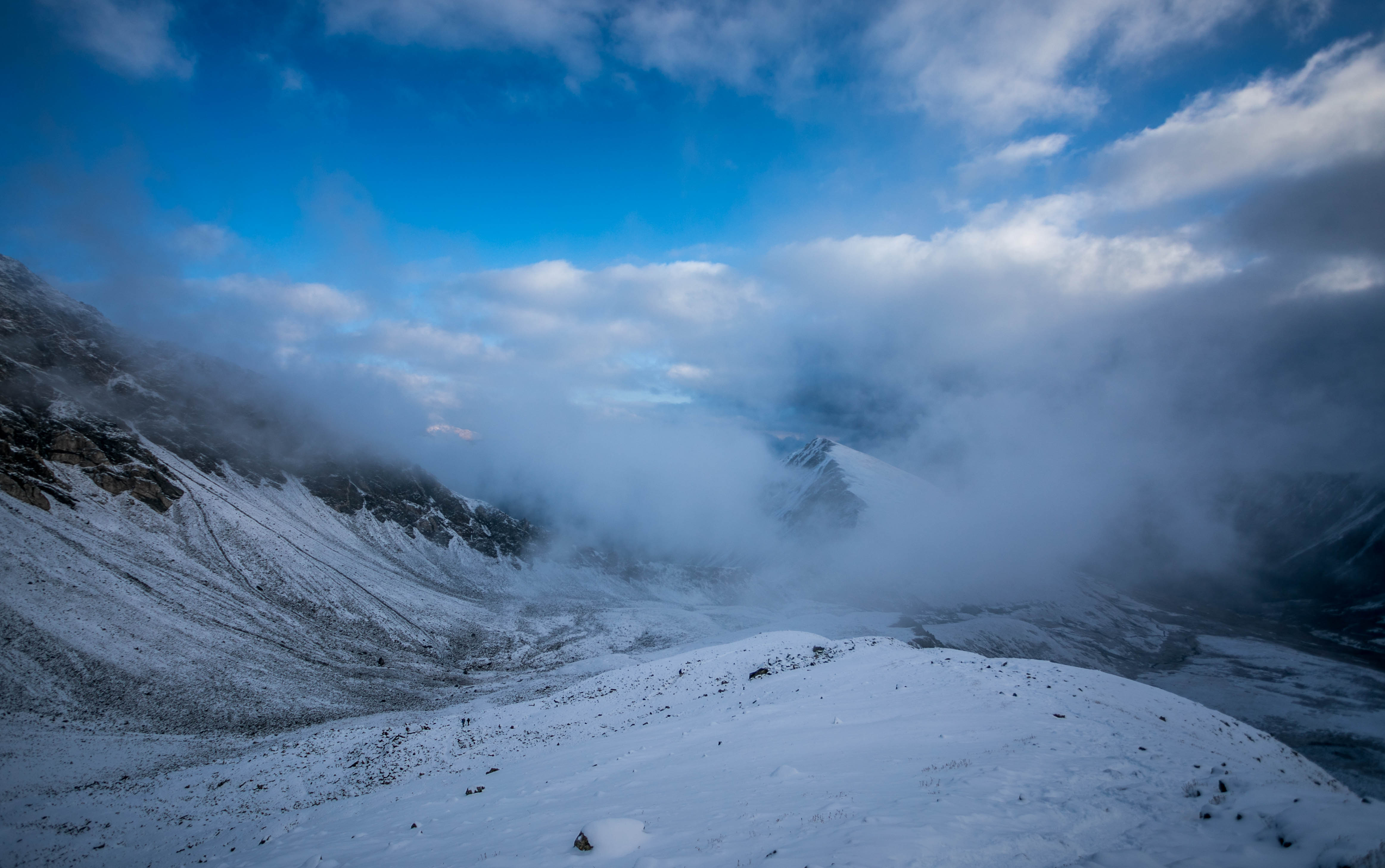
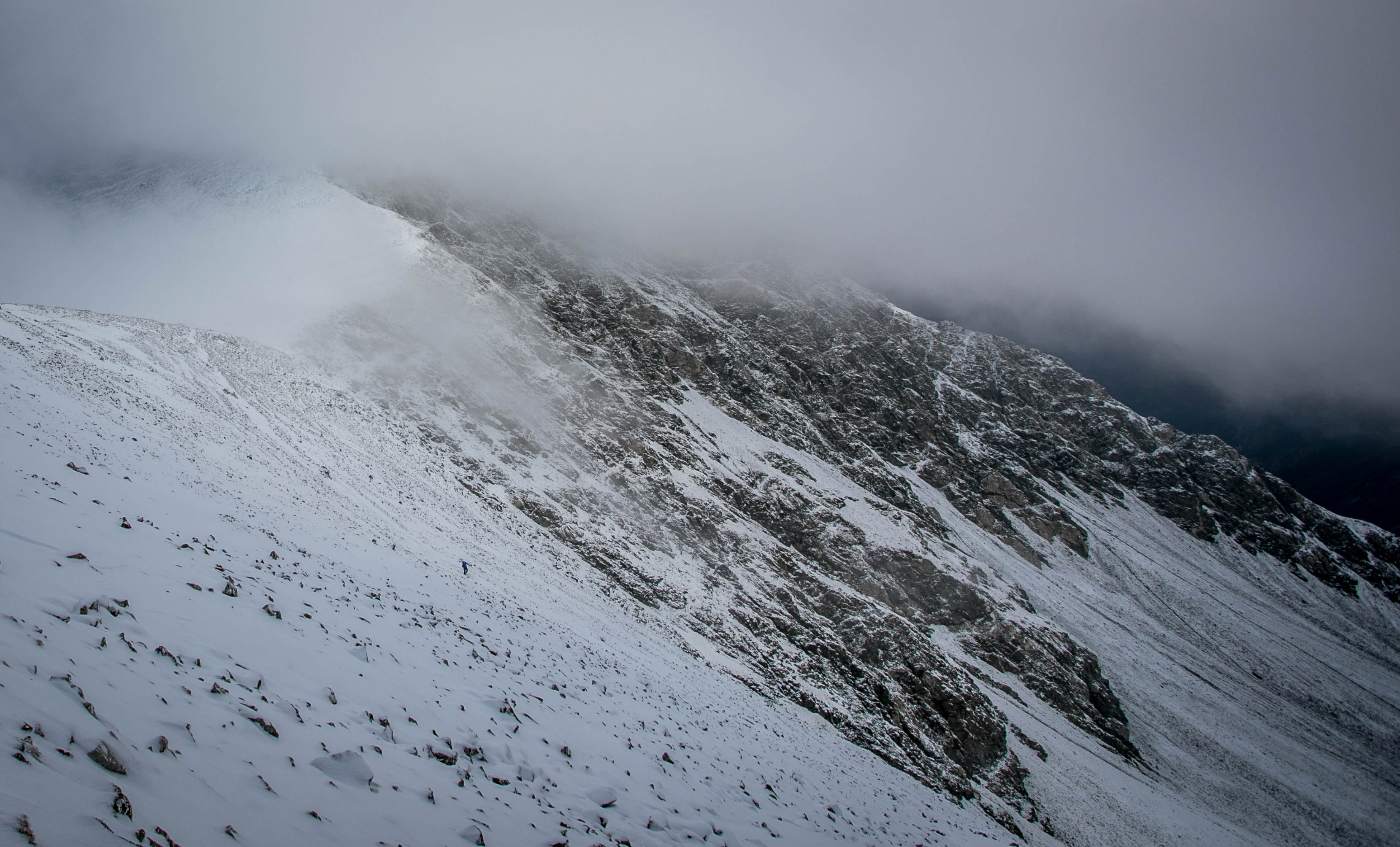
The planned route was to take Kelso Ridge, a Class 3 I’ve been eyeing the past year, up to Torreys Peak, take the saddle over to Grays, then get back to the parking lot. As luck would have it an early winter storm came in the day before covering the ridge with blue ice and the Front Range in snow. Like the Scots poet Robert Burns said, “the best laid plans of mice and men…”
The alternate, Greys/Torreys combination, route is a popular summer hike along the Front Range great views from Greys of the surrounding terrain and the Continental Divide. At 8.25 miles round trip and 3,600 feet of elevation gain, the Class 2 route is not as difficult as I had planned, but was a cool second choice.
I camped out the night before and was essentially on my own for this one, as the group I had planned to do the ridge with decided they were out due to conditions.
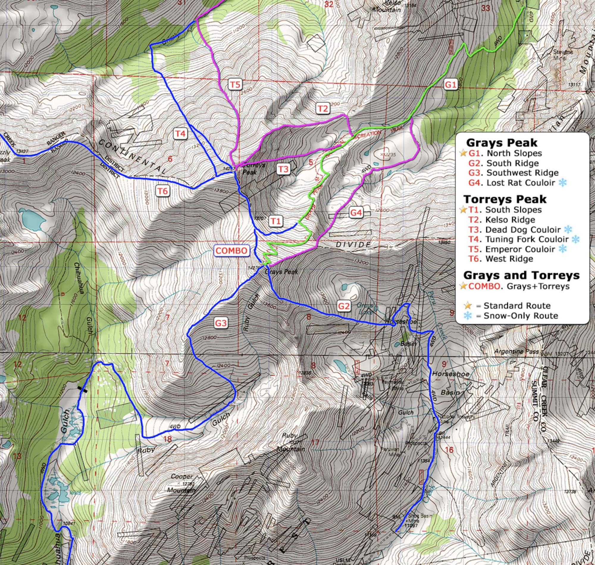 The Route
Distance: 8.25 Miles Round Trip
Elevation Gain: 3,600 Feet
The Hike
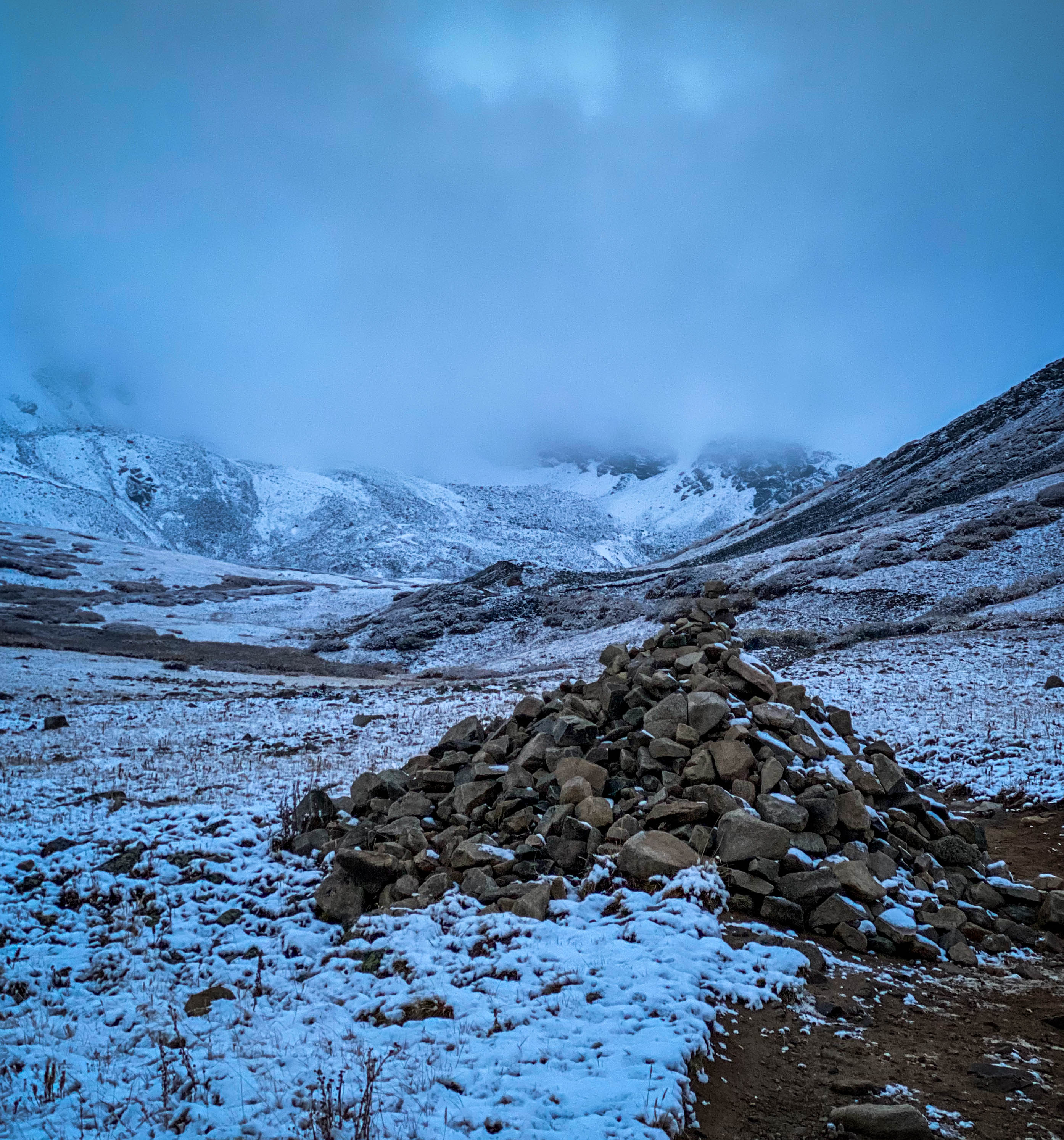
I hit the trail for this solo hike at 5 am, guided by headlamp. The route finding was easy, as even with the light dusting of snow Kelso Mountain and its Ridge are unmistakable landmarks to lead the way.
Once beyond Kelso Mountain on the hiker’s right Torreys and Grays Peaks come into view. Now, standing in the amphitheater, the real work starts.
Standing at about 12,600 feet above sea level looking up, the switchbacks to Grays Peak disappeared into the cloud cover overhead. Forward progress along Grays north slope eventually paid off and I found myself up above the clouds and the summit was in full view.
After covering the last few hundred feet that separated me from the peak I was rewarded with my second summit of Grays Peak. I was there to memorialize the six rangers killed in action nearly 28 years earlier. The cloud cover was so socked in that photographing was pointless. I waited it out for about an hour, and as the winds picked the temperatures dropped, and clouds moved on.
The view of Torreys Peak a short distance away and Kelso Mountain below was priceless. With the summit virtually to myself, I was able to pay my respects before making the hike down to the saddle and up to Torreys.
Once at the summit of Torreys, I was able to capture the photos of Sgt. Ruiz’s memorial bracelet, enjoy a quick summit celebration, and make the down hike to the trailhead before more weather moved in.
RLTW!
References:
https://www.14ers.com/route.php?route=torr5